
Wrocław in three hours
One walk for a train layover: from Wrocław Main Station north to the Market Square (Rynek), on to the Odra and Cathedral Island (Ostrów Tumski), and back to the station. Each stop links to its own page.
Map data © OpenStreetMap contributors, under the ODbL. Route over OSM streets and footpaths, across the Odra on the Piasek, Tumski and Pokoju bridges.
Your bags
Wrocław Main Station has luggage lockers in its central tunnel.
The walk
The station is south of the Old Town. Walk north to the Market Square, then on to the river, east along it to the islands, and back south to the station.
Rather ride than walk the first or the last leg? Trams run between the station and the Old Town, and how to pay for one is on Getting around.
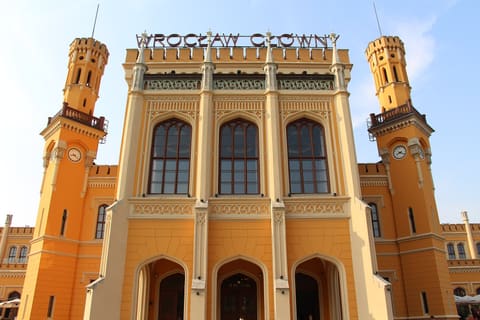
- Wrocław Main Station Start here. A brick Neo-Gothic building of 1855–1857, renovated in 2010–2012. Walk north into the Old Town.
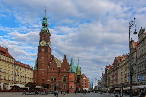
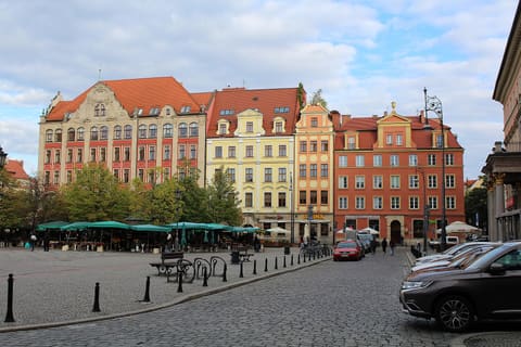
- Market Square The centre of the medieval town, laid out after 1241; the houses around it were rebuilt after 1945.
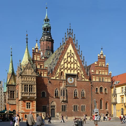
- Town Hall In the middle of the square: the seat of the city council and courts, built in stages from the end of the 13th century into the 16th.
- Salt Square Plac Solny, beside the Market Square.
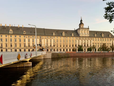
- University of Wrocław North of the square, on the bank of the Odra: a Baroque main building begun in 1728 for a Jesuit university. From here, go east along the river.
- Piasek Island Sand Island, named for the Gothic church of Our Lady on the Sand, and the island the Tumski Bridge leaves from.
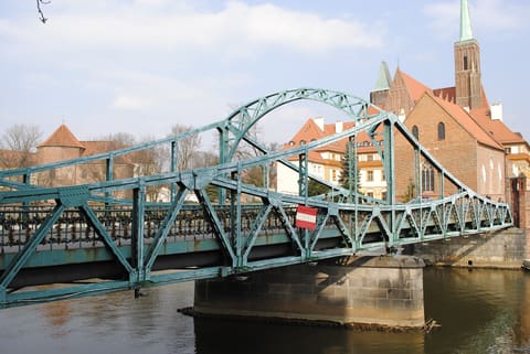
- Tumski Bridge The steel bridge of 1889 from Piasek Island to Cathedral Island.
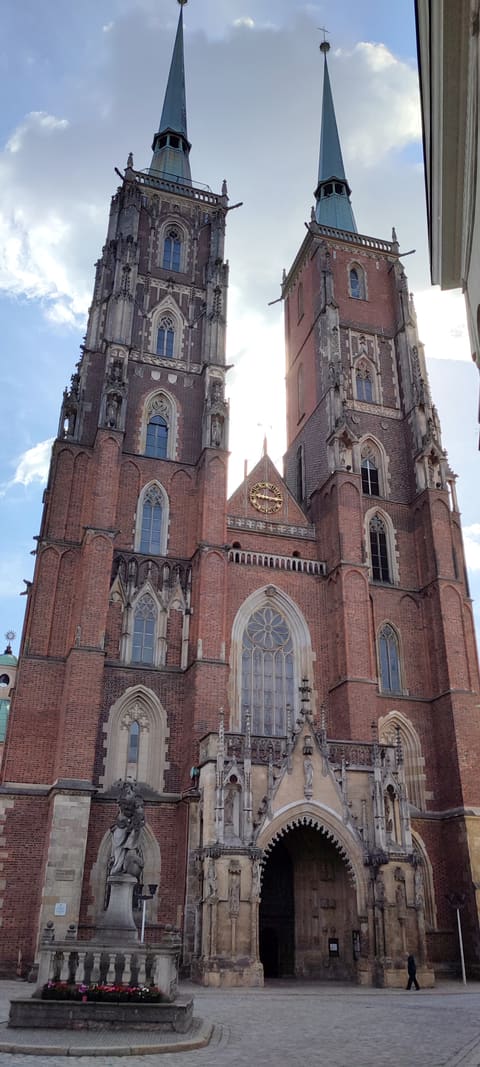
- Cathedral The Gothic Archcathedral of St John the Baptist on Cathedral Island, badly damaged in 1945 and rebuilt in the years after. Turn back here.
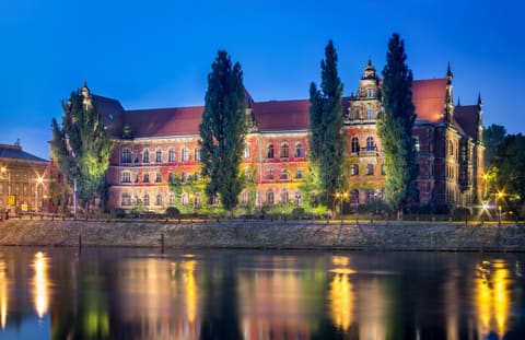
- National Museum On the way back, over Most Pokoju: a building put up in 1883–1886 as the seat of the Province of Silesia's administration, on the south bank of the Odra.
-
Bastion Ceglarski Part of the 16th-century fortifications, made a viewing hill on the riverside promenade once they came down, and called Wzgórze Polskie, Polish Hill, since the war.
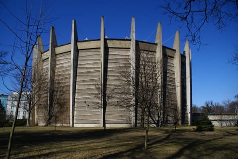
- Racławice Panorama A painting 15 by 114 metres by Jan Styka and Wojciech Kossak, in Wrocław since 1985. From here, walk south to the station.








What you will see
-
-
-
-
-
-
-
-
-
Back to the station
From the cathedral the walk goes back by Wyszyńskiego Street and over Most Pokoju, past the National Museum, Bastion Ceglarski and the Racławice Panorama, and south to the station. Or take a tram or bus: for tickets and how to pay, see Getting around, and check the route in a journey planner before you set off.